3.2 Victoria Harbour: Then and Now

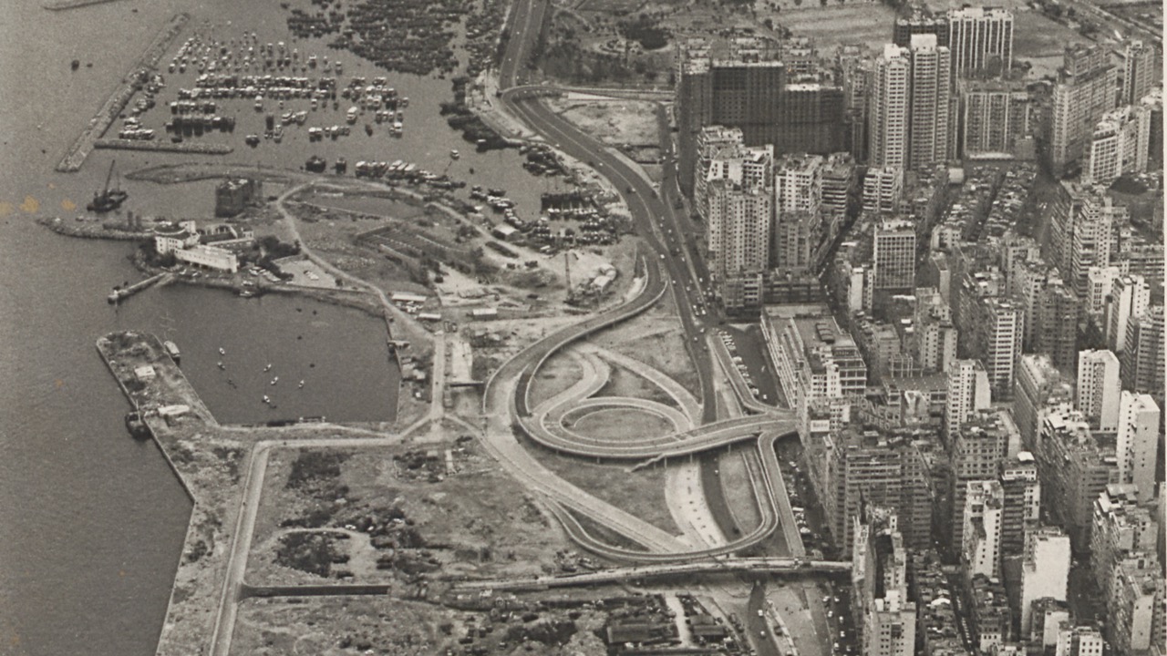
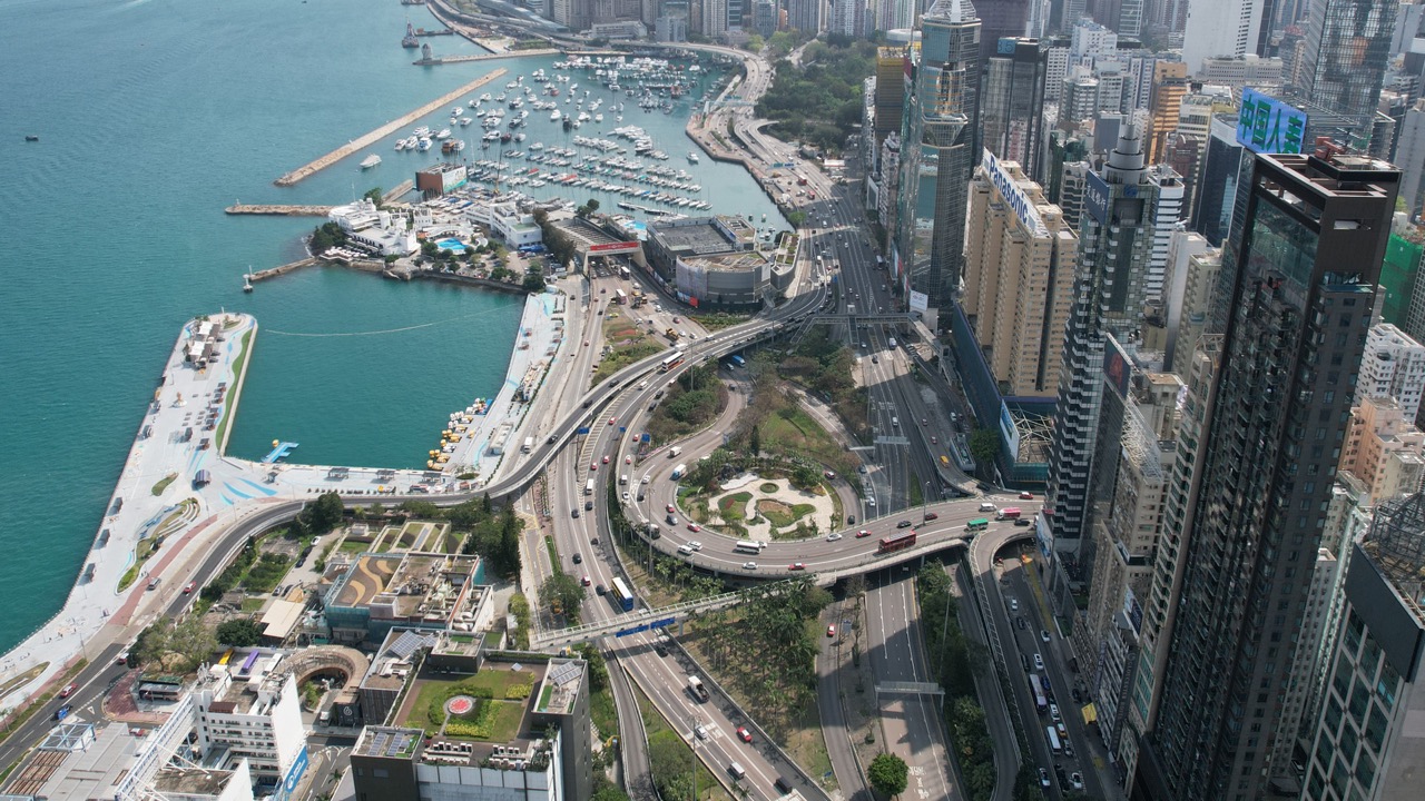
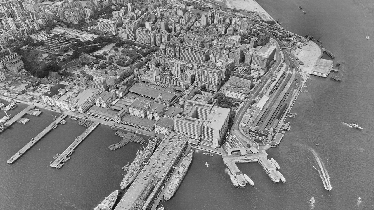
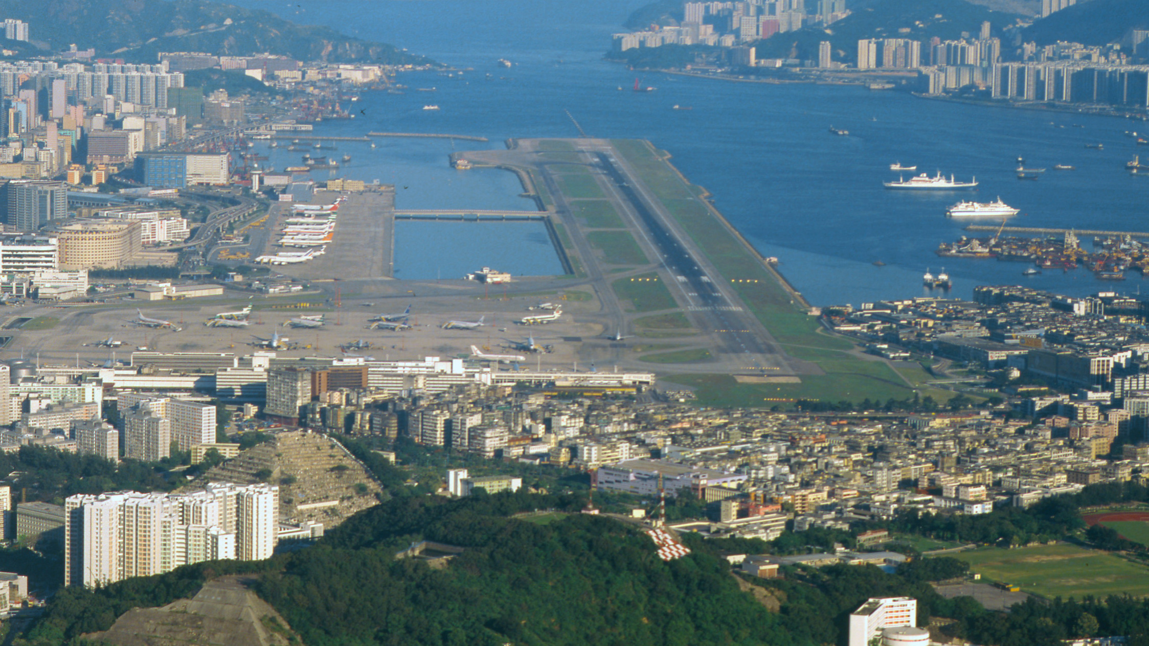
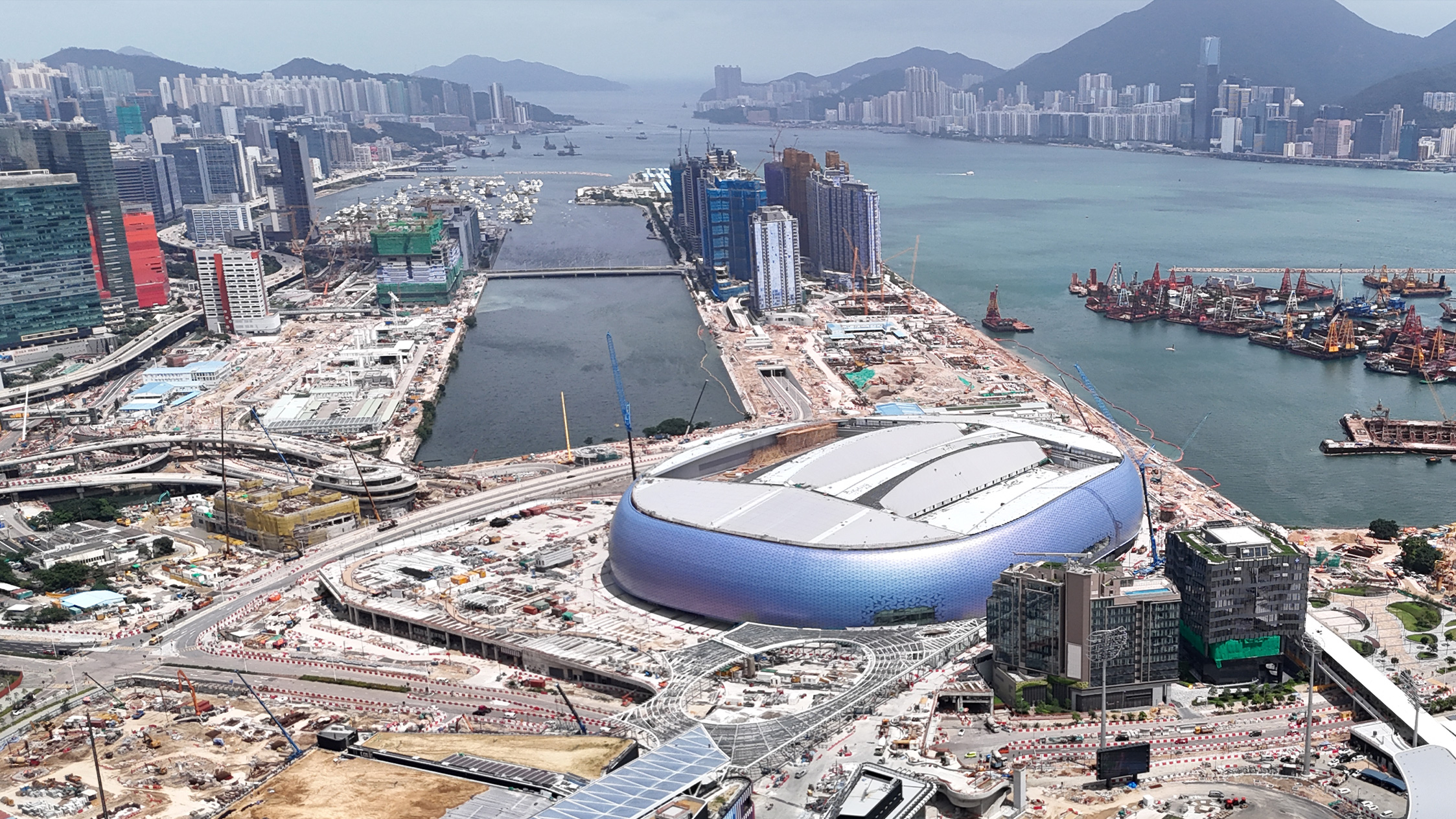
The urban development of Hong Kong is closely linked to the Victoria Harbour. From small fishing villages of the past to an international metropolis of today, the evolving landscapes of the Victoria Harbourfront reflect the changes of the city’s past, present and future. Over the past 20 years, the Harbourfront Commission has been driving development along both sides of the Victoria Harbour. New harbourfront promenades completed in recent years have made different areas connected, incorporated new elements in planning, and enhanced accessibility of the Victoria Harbourfront, making it accommodate needs of different people. The objective is to bring people closer to the harbour and foster a stronger connection with the Victoria Harbour. Through photographic comparisons of the past and the present, this section seeks to illustrate the remarkable evolution of Hong Kong’s waterfront.

Viewing Victoria Harbour in New Dimensions

  1. Scan the QR code with your mobile device, or visit www.hfc.org.hk/20a-publication/tc/ar-photos to enable access to the camera.
  2. Use the camera to scan the historical images with thetag to unlock the interactive feature.
  3. Swipe left or right with your finger to explore the contrast between Victoria Harbour’s past and present.

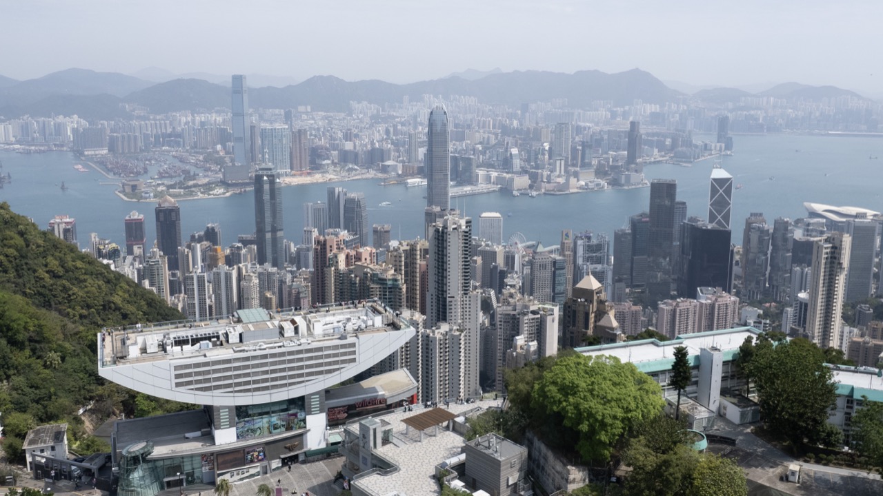
Both Sides of the Victoria Harbour

1972

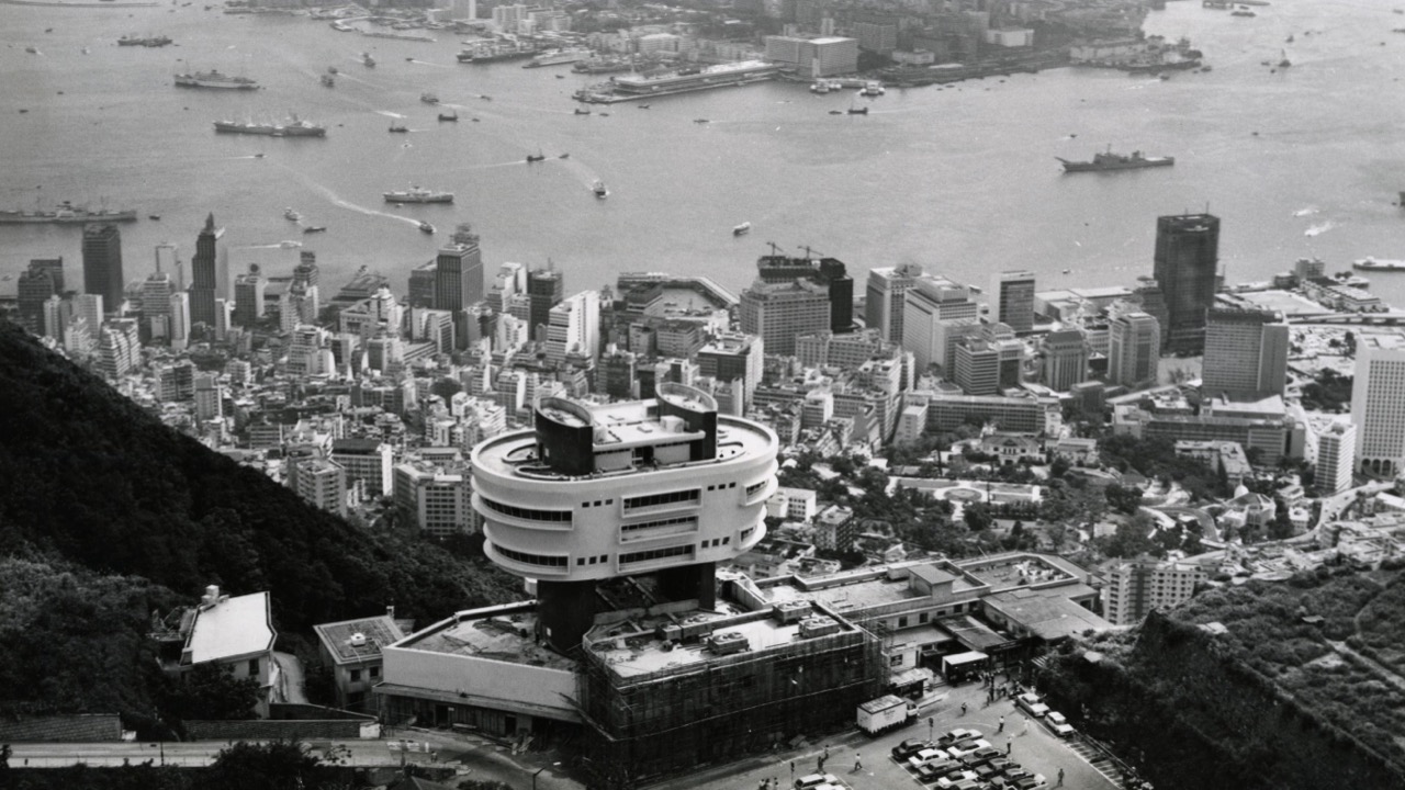
The image shows the Peak Tower and tram terminal in the 1970s, with a view overlooking the Kowloon peninsula and the Central district on the Hong Kong Island from Victoria Gap of The Peak. (Photo source: Government Records Service)

2024

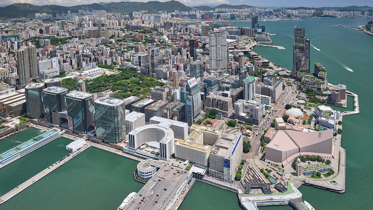
An aerial view of both sides of the Victoria Harbour shows row upon row of towering skyscrapers rising between the mountains, forming a stunning urban skyline. The significant developments of the Victoria Harbourfront have added depth and diversity to Hong Kong’s cityscape.

Wan Chai and Causeway Bay

1972

An aerial view of Wan Chai and Causeway Bay shows small-scale reclamation work to the north of Victoria Park for the construction of projects such as the Cross-Harbour Tunnel. The photo captures the newly reclaimed land at that time. (Photo source: Government Records Service)

2024

View of the Wan Chai and Causeway Bay harbourfront from above. The photo shows the Water Sports and Recreation Precinct in Wan Chai, the Revitalised Typhoon Shelter Precinct in Causeway Bay, and the East Coast Park Precinct in North Point, which are now open and form parts of the continuous promenade along the northern shore of the Hong Kong Island.

Tsim Sha Tsui

1973

An aerial view of the Tsim Sha Tsui harbourfront at the southern tip of the Kowloon peninsula, showing iconic landmarks such as the Peninsula Hotel, Star House, Star Ferry Pier, the Kowloon-Canton Railway Terminus and the Clock Tower. Due to its location, Tsim Sha Tsui served as a vital transportation hub connecting with the Hong Kong Island, with bustling traffic on land and in waters. (Photo source: Land Department)

2021

View of the present Tsim Sha Tsui harbourfront with a promenade that extends from the Star Ferry Pier to Hung Hom, including the Avenue of Stars which underwent its enhancement in 2019. (Photo source: Government Records Service)

Kai Tak

1996

Kai Tak Airport in Kowloon City was closed in 1998 when the Hong Kong International Airport was relocated to Chek Lap Kok on the Lantau Island. (Photo source: Government Records Service)

2024

Following the closure of Kai Tak Airport, the Kai Tak Development Plan introduced new elements to its former site and surrounding areas, including To Kwa Wan, Ma Tau Wai, Kowloon City, San Po Kong, Wong Tai Sin, Kowloon Bay, and Kwun Tong; and launched a number of significant projects such as the Kai Tak Sports Park, the Metro Park, Cruise Terminal, as well as hotels, residential, commercial and leisure facilities. (Photo source: Culture, Sports and Tourism Bureau)